
Will a Very Strong El Niño Bring Big Snow to Utah This Winter?
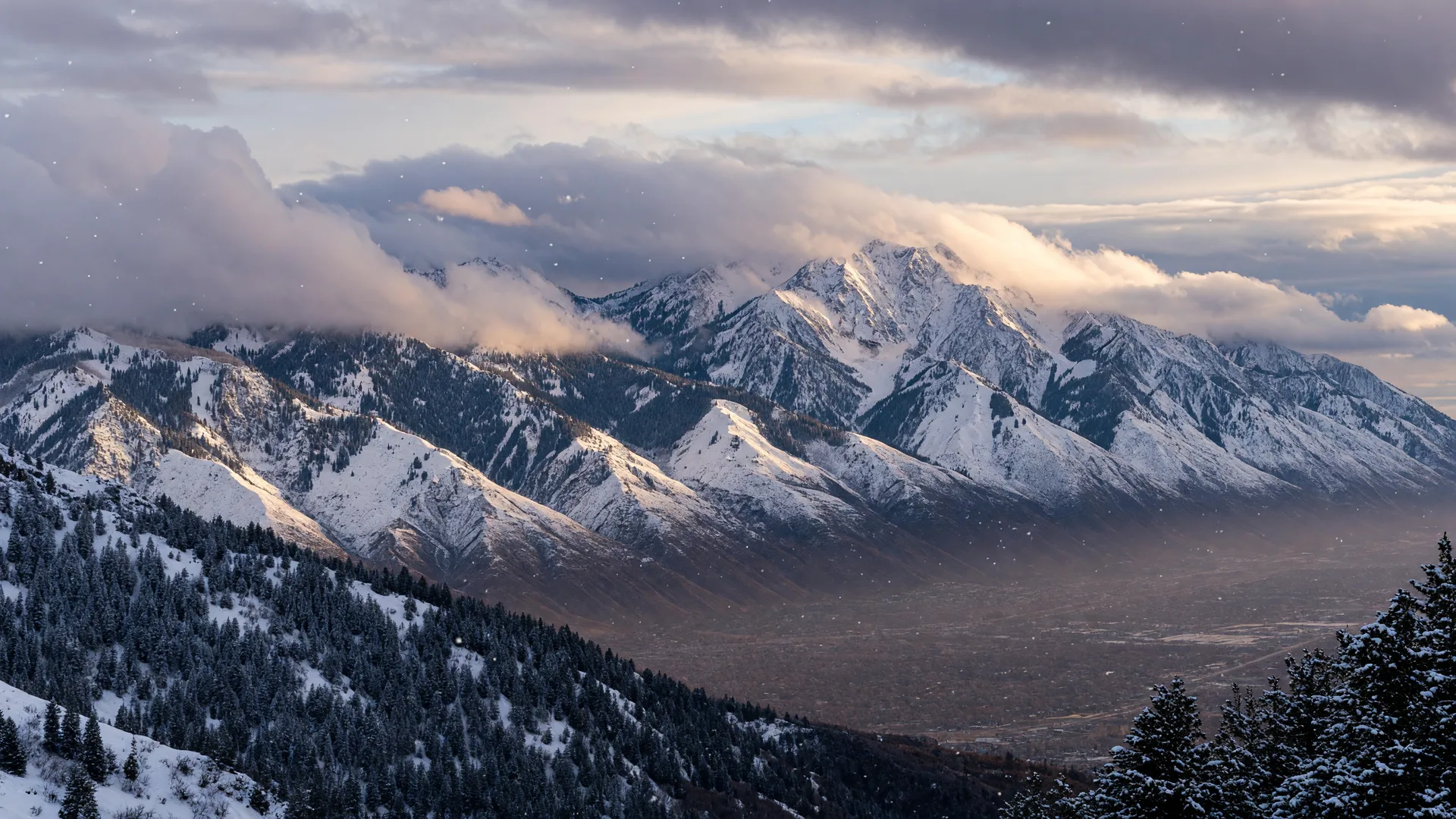
AI-generated illustration of a winter Wasatch scene used as the article hero.
The short version: After last winter's historically poor snow season in the Wasatch, forecasters are pointing to a very strong El Niño for 2026-27, with NOAA now putting the odds of a historic event above 90%. But the forecast maps for Utah are genuinely mixed, northern Utah leans dry on NOAA's precipitation outlook while ski forecasters lean snowy, and the honest answer is that a big snow year is possible, not promised. Here is what the forecasters actually say, and how to prepare either way.
After one of the weakest snow seasons on record in the Wasatch, Utah is watching this winter closely. Alta's Collins Study Plot recorded just 321 inches last season, the least-snowy season in its 46-year record and about 58.6% of its 45-year average, according to a September 28, 2026 report from Unofficial Networks. Now forecasters are pointing to a very strong El Niño for the 2026-27 season, and Ski Utah is already campaigning on the "Super El Niño" angle.
The honest answer to the headline question: a big snow year is possible, and the odds are genuinely interesting, but no one can promise it yet. This guide walks through what El Niño actually is, how strong the current forecast is, what forecasters are saying about Utah specifically, and how families and homeowners should think about the winter ahead. We wrote it for Utah residents, families, and skiers, and every claim below is tied to a named source and a dated forecast.
What is El Niño?
El Niño is the name for a warming of sea-surface temperatures across the central and eastern tropical Pacific Ocean. That may sound like a distant ocean event, but it shifts the jet stream, the fast river of air that steers storms across North America, and that changes where storms form, how strong they are, and where they land.
Think of the jet stream as the delivery route for winter weather. When El Niño warms the tropical Pacific, it tends to push the jet stream farther south and east across the United States. For the western U.S., that can mean a different mix of storms and temperatures than a typical winter. It does not guarantee any single outcome in any single mountain range, but it tilts the odds in patterns that forecasters can describe.
How strong is this El Niño forecast?
By the numbers, this is shaping up as one of the strongest El Niño events on record. NOAA's Climate Prediction Center issued a formal El Niño Advisory as of July 2026, with 100% odds of El Niño conditions for the season and roughly 81% odds of a "very strong" event in October through December, as Ski Utah reported on July 17, 2026.
NOAA's September outlook went further. The chance of a very strong El Niño this fall and winter rose to greater than 90%, with about a 75% chance that the October-December period exceeds every El Niño event recorded since 1950, according to the NOAA-sourced post Stark Group Real Estate shared on our social channels. NOAA also projects about a 97% chance that El Niño persists through early spring 2027, as Deseret News reported on August 3, 2026.
Those are remarkable numbers for a seasonal forecast, and they are why the "Super El Niño" talk is everywhere this fall. But a strong El Niño is not the same thing as a Utah snow forecast.
Does a strong El Niño mean a big snow year for Utah?
Not automatically, and the forecasters are the first to say so. NOAA cautions that strong events do not guarantee expected impacts everywhere, and Utah's precipitation response to El Niño is not straightforward, per the NOAA-sourced post we shared. Retired National Weather Service hydrologist Brian McInerney put it plainly: this event is unusually strong and hard to compare with past seasons, and Utah's snowfall history offers little clarity, as Unofficial Networks reported on September 21, 2026.
In other words, the strength of the El Niño itself is not a Utah snow forecast. Big El Niño years have produced both deep Wasatch winters and disappointing ones. The event sets the table; the storm track decides the meal.
What do the forecasters say about Utah specifically?
Here is where the picture gets genuinely mixed, and it is worth reading carefully because the details matter.
NOAA's December-February seasonal precipitation outlook shows northern Utah sitting near an area where below-normal precipitation is favored, while southern Utah leans above-normal. The October-December temperature outlook favors above-normal temperatures west of the Rockies. These are probabilities, not projected snowfall totals, as TownLift reported on August 6, 2026, and as the NOAA-sourced post noted.
OpenSnow's 2026-27 forecast takes a different view for the mountains. It favors above-normal snowfall across the Southwest including Utah, with a slower start in December and a stronger signal for January through March, alongside above-normal temperatures, per OpenSnow's August 11, 2026 forecast and Cache Valley Daily's August 14, 2026 coverage.
SnowBrains' September update keeps the historic-event probability at 75% and the very strong odds above 90%, but it calls the heart of winter for Colorado and Utah "equal chances" territory, meaning no strong wet or dry signal, as reported on September 18, 2026.
So the honest summary: the forecast maps do not agree on a slam-dunk big snow year for the Wasatch. Northern Utah leans dry on NOAA's precipitation map, the ski forecasters lean snowy, and the climate models say the season could go either way.
Why the storm track matters so much
The single biggest factor may not be the strength of the El Niño at all, but where each Pacific storm actually tracks. A few shifts in the storm track could determine whether the Wasatch sees significant snow or whether storms shift north or south of us, per the NOAA-sourced post.
Here is how to picture it. Think of winter storms as buses on a highway. El Niño helps decide how many buses are running and roughly which lanes they use. But a small change in the highway, a shift of a hundred miles in the storm track, decides which towns get the delivery. A storm that hits the Wasatch head-on can drop two feet of snow at the resorts, while the same storm tracking a little farther north could leave the canyons dry and bury Wyoming instead. That is why forecasters keep repeating that probabilities are not promises.
What should Utahns do to prepare?
For skiers and resorts, the reasonable stance is cautious optimism. The odds of a very strong El Niño are real, the ski forecasters lean snowy for the Southwest, and the season could deliver. But the forecast maps disagree, so plan for a season that could start slowly in December and pick up in January through March, which is exactly what OpenSnow's forecast suggests. If you have not sorted out passes yet, our 2026-27 Utah ski season preview covers the pricing and timing.
For homeowners, the message is simpler: winter weather in Utah varies, so prepare for whatever comes and do not overreact to any single forecast. That means snow tires or good all-weather tires before the first big storm, winterizing hoses and sprinkler systems, checking the furnace and filters, keeping an emergency kit in the car with blankets, a scraper, and a flashlight, and making sure the family knows the plan for a snow day or a canyon closure. None of that depends on whether El Niño delivers, and all of it makes a Wasatch winter easier to enjoy.
The bottom line
Forecasts are probabilities, and they can change as winter approaches. The smart move is to keep an eye on the seasonal outlooks, check NOAA and National Weather Service updates as the season develops, and be ready either way. If the storms come, the Wasatch will be one of the best places in the country to enjoy them. If they do not, a prepared home and a flexible plan make the winter fine either way.
And if you are thinking about buying or selling a home anywhere along the Wasatch Front, Adam and Natalie would love to help you find the right fit, whether you want to be minutes from the lifts or close to the best sledding hill in your neighborhood. Our Utah ski resorts guide is a good place to start, and we are always happy to talk through which community fits your winter lifestyle best.
Ready to talk winter plans, or home plans?
Adam and Natalie help buyers and sellers across the Wasatch Front, from canyon-adjacent neighborhoods to the master-planned communities of Daybreak and South Jordan. Book a call, phone, or email anytime for a relaxed conversation about your goals.
A note on forecasts: seasonal weather forecasts are probabilistic and can change as winter approaches. For the latest official outlooks, follow NOAA and the National Weather Service.
Related Articles
About the Authors

Stark Group Real Estate is a premier husband-and-wife real estate team serving Utah's Wasatch Front. Combining high-level financial acumen with cutting-edge marketing, Adam and Natalie deliver a highly supportive, tech-forward, and top-tier experience for buyers and sellers across a wide range of life transitions.